The Los Angeles Ember Project
Do you have video footage of the 2025 L.A. fires?
We are seeking video footage of the L.A. fires to study ember movement in an urban environment. See how your video can help scientists make communities safer from wildfires. For your participation, you may be eligible to receive a $100 VISA gift card.
Home
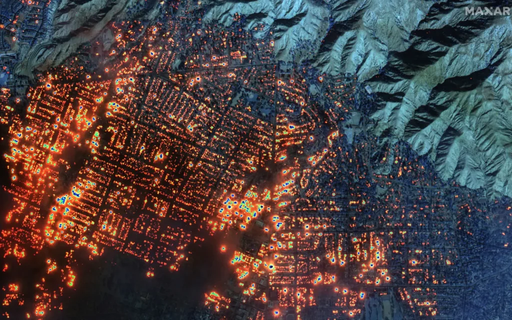
Starting on January 7, 2025, a series of fires broke out in the greater Los Angeles region. Due to extreme drought and severe winds, the fires entered the densely populated areas of Altadena and Palisades, causing mass destruction. The Los Angeles Ember Project, which is funded by the National Science Foundation, seeks to gather video data of embers traveling in an urban environment, and use the data to make communities more resilient against wildfires.
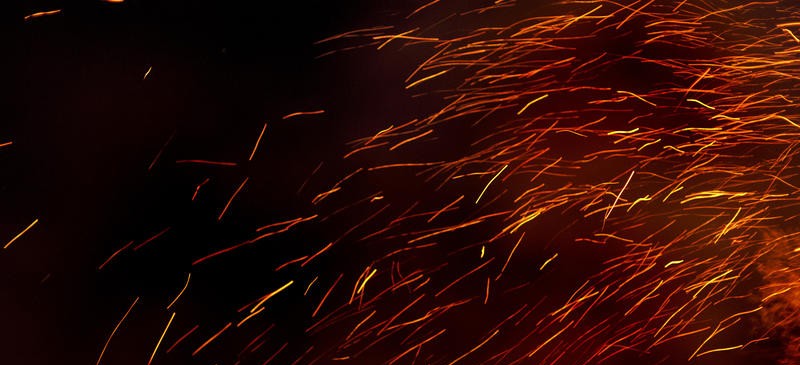
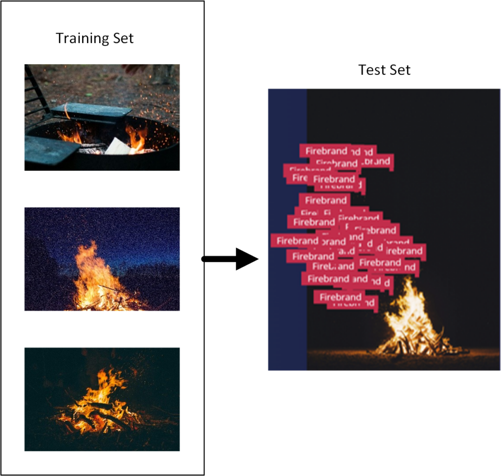
Embers are small pieces of burning wood or vegetation that are lifted by the fire and carried by the wind. Some studies have found that embers (also known as firebrands) can travel more than a mile and cause spot ignitions. Embers are the leading cause of home ignitions if fire events like the ones in Southern California in 2025.We can use machine learning techniques to analyze video data of embers flowing in an urban environment to understand how many hit a structure, what their trajectories look like, how they bounce and roll, and what their potential is for igniting a structure. This is information that scientists have not been able to acquire before.
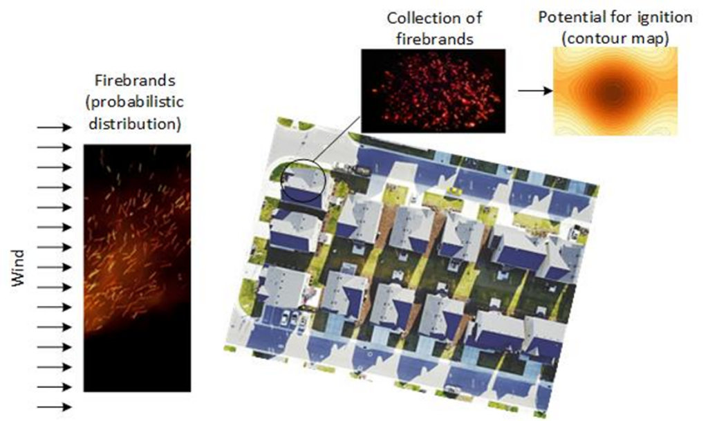
The data that we gather from this study will inform advanced models being developed at the University of Michigan on the flow of embers in an urban environment. The research will eventually allow us to assess the risk of communities and identify strategies to strengthen neighborhoods against catastrophic fires.